
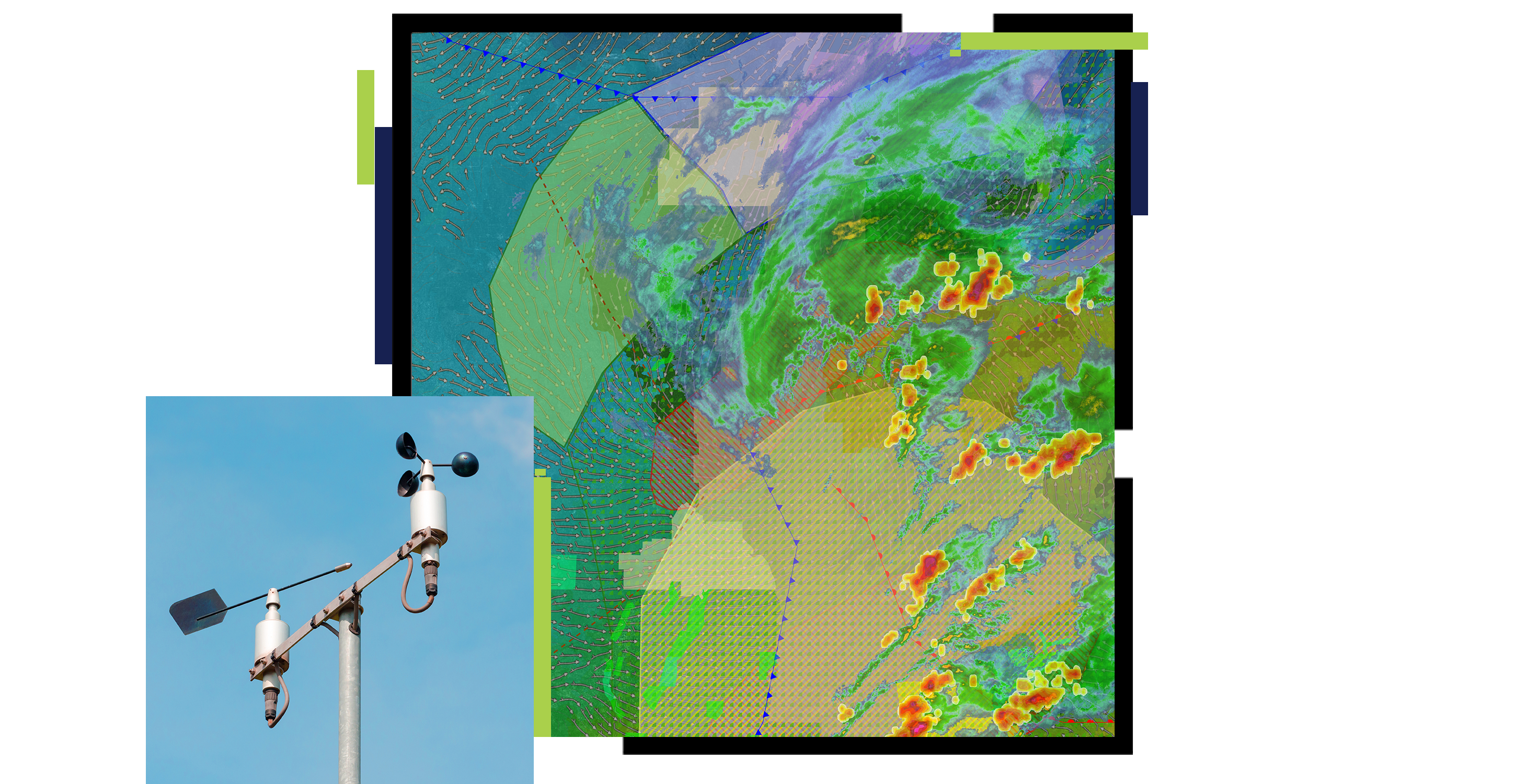
The integration provides access to more than 25 data products, ranging from live radar and satellite imagery to the proprietary Extreme Weather Index. By layering these datasets over geographic information systems, organizations can visualize potential threats, such as ice accumulation on power lines or storm paths, with updates arriving as frequently as every two minutes.
Marc Krasner, Vice President of Enterprise Sales at Baron Weather, noted that the move is designed to reduce friction for thousands of organizations already utilizing the ArcGIS platform. Richard Cooke of Esri emphasized that incorporating these weather insights directly into GIS workflows provides a significant boost to situational awareness for decision-makers in the utility, commercial, and government sectors. The full suite is currently available to users across the United States and its territories.
Comments (0)
No comments yet. Be the first!