
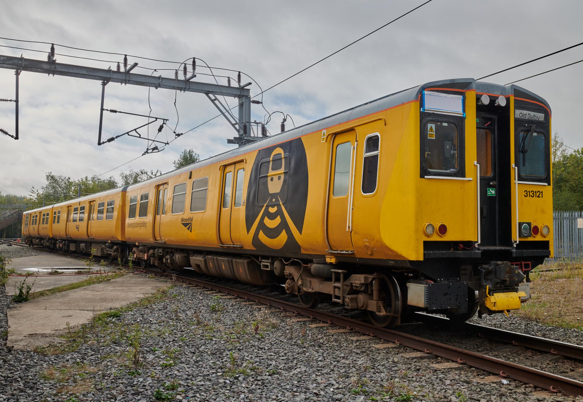
The 12-week collaboration focused on the Wessex Route, a critical commuter corridor spanning south-west London. By fusing three years of satellite archives and LiDAR vegetation models with real-time meteorological data, the team created a prototype capable of identifying ground deformation, vegetation instability, and flood susceptibility. The system employs a traffic-light classification on a web-based dashboard, allowing operations teams to visualize hazards that shift based on wind gusts and cumulative rainfall.
Currently, vegetation assessments on the network occur only every three years. The satellite-enabled approach offers a far more dynamic alternative, potentially allowing for frequent, evidence-based monitoring. Thomas Desmond, Operations Director at Network Rail, noted that the data aligns with known problem areas, particularly regarding vegetation management. While the project remains in the exploratory phase, the methodology provides a blueprint for scaling climate-resilience tools across the broader British rail network, potentially adding wildfire and autumn leaf-fall hazards in future iterations.
Comments (0)
No comments yet. Be the first!